
Modular Processing Engine
Chain together pre-built modules for indexing, processing, and analysis. Build the exact pipeline you need without writing a single line of code.
Loading Earth visualization...
Data Processed: --
Live Processing Load
65% capacity
Layer Legend
Geom.space Platform
Chain together pre-built modules for indexing, processing, and analysis. Build the exact pipeline you need without writing a single line of code.

Leverage bleeding-edge cloud computing to process petabytes of raster and vector data in minutes, not days. No hardware, no maintenance, just pure power.
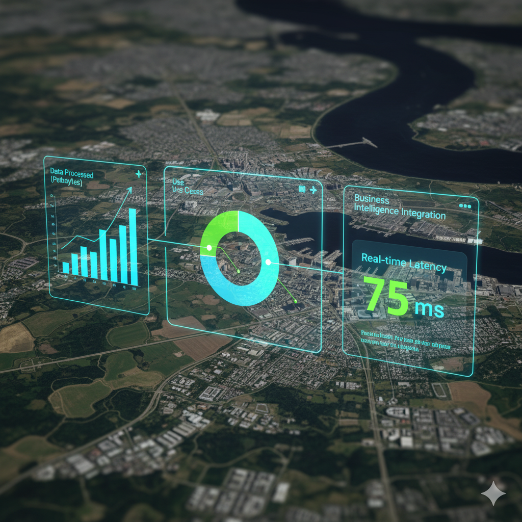
Directly connect processed geospatial data to your BI tools. Turn satellite imagery into charts, graphs, and KPIs that drive real business decisions.